Risk Abatement
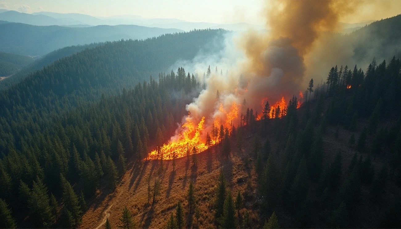
Fire Behavior
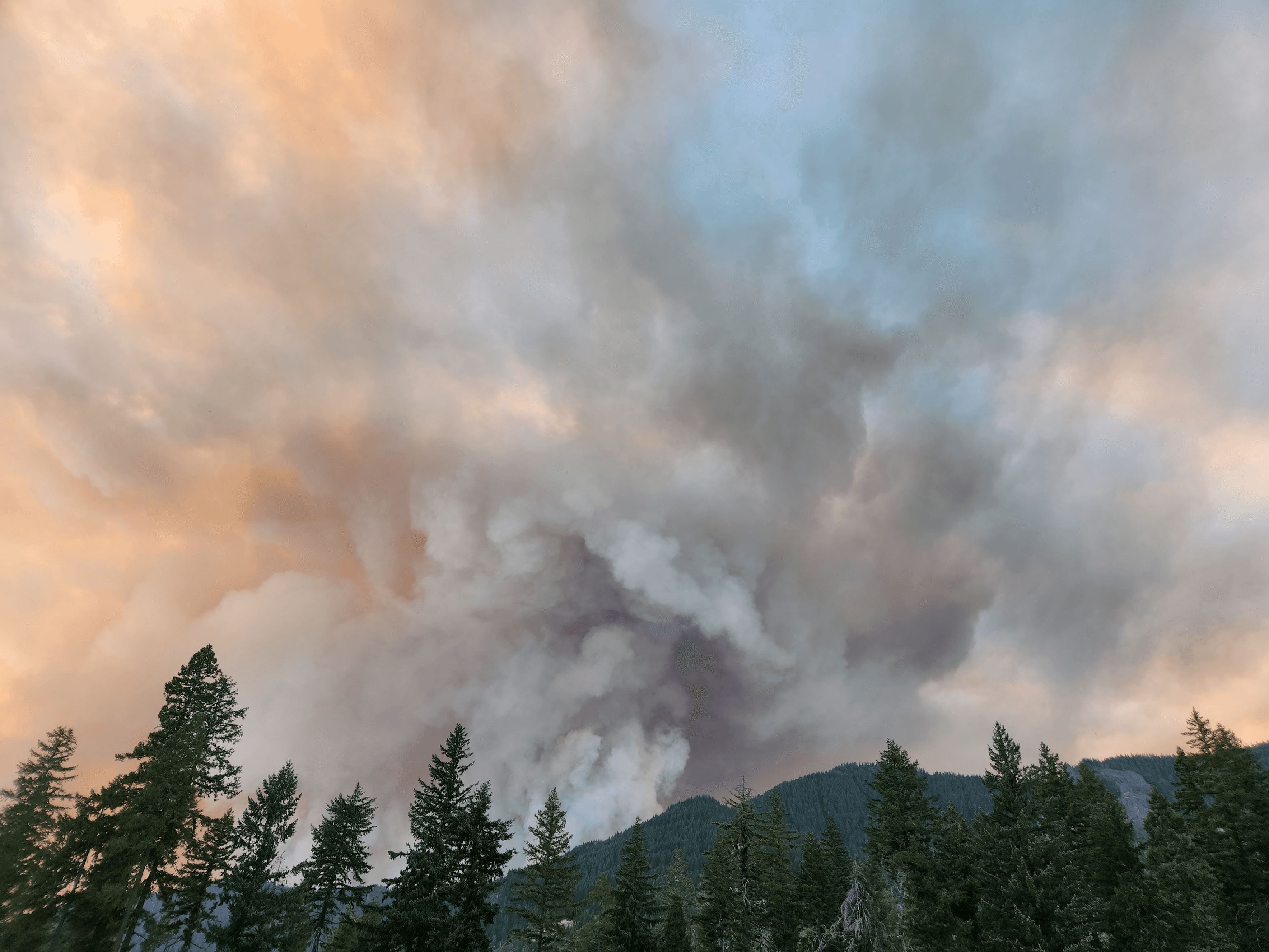
Wildfire
May 29, 2025
Advanced Fuel Modeling System: The Science Behind Accurate Wildfire Prediction
The USDA Forest Service's wildfire prediction methods have changed by a lot since 1964. Back then, they used only two fuel models to assess fire danger. Scientists now use up to 40 different fuel models that include grasslands, shrublands, timber, and slash. These models are a great way to get insights about how fires might behave.
Jesse Sprague
10 minutes
The USDA Forest Service's wildfire prediction methods have changed by a lot since 1964. Back then, they used only two fuel models to assess fire danger. Scientists now use up to 40 different fuel models that include grasslands, shrublands, timber, and slash. These models are a great way to get insights about how fires might behave.
Grass fires can spread at scary speeds - reaching up to 78 chains per hour (about 104 feet per minute) in certain conditions. Areas with heavy logging slash can hold more than 200 tons of fuel per acre. This is a big deal as it means that fires in these areas can become extremely intense. The National Fire Danger Rating System uses these detailed fuel models along with daily weather data to create accurate forest fire predictions.
Modern wildfire modeling systems can now make regional forecasts down to 100-meter sections. These advanced models combine data from satellites, aircraft, land fuels, and terrain to calculate flame length, spread rates, and heat release. NSF NCAR researchers have created machine learning techniques that predict fire risks weeks ahead. Fire managers and emergency teams now have vital time to develop strategies that work for predicting wildfire spread.
How Wildfire Modeling Systems Use Fuel Data
Modern wildfire modeling systems rely on multidimensional fuel data as their foundation. Landscape (.LCP) files, a multi-band raster format, have defined analysis areas for fire behavior systems that store critical terrain, tree canopy, and surface fuel characteristics. The industry now changes from .LCP to GeoTIFF landscapes for models such as FlamMap, FARSITE, FSPro, and RANDIG because of technological advances.
These wildfire prediction models' accuracy depends on the available fuel data quality. The systems integrate these key characteristics:
Fuel-load depth
Percent moisture of extinction
Vegetation type and particle size
Heat content
Models need these features to simulate fire behavior accurately. Live fuel moisture content (LFM) indicates wildfire risk and requires regular field collection of vegetation samples.
Wildfire prediction faces a major challenge because fuels change dynamically across multiple time scales. They respond to hourly atmospheric conditions like morning dew moisture and change physically during multi-year disturbance events like drought or insect outbreaks. Disturbance events happen much faster than wildland fire fuel data updates, which creates a critical gap in prediction accuracy.
Researchers have created innovative solutions to these limitations. The FastFuels system combines existing fuels and spatial data with advanced modeling to create 3D fuels data that modern fire models need. This system generates "voxelized" (3D raster) data while keeping individual tree attributes, which enables a full fuel treatment analysis.
Deep-learning models now map fuel moisture levels with fine detail across western states. They use both visible light measurements and synthetic aperture radar (SAR) data that penetrates through leafy branches. These systems have improved wildfire prediction capabilities by blending these technologies with the timelag principle—which shows how different fuels respond to moisture changes over varying periods.
High-Resolution Wildfire Prediction Models
Advanced wildfire prediction works at never-before-seen detail levels. Current models can scale regional weather forecasts from 3 kilometers down to an impressive grid spacing of about 100 meters. This high-resolution capability leads to much more accurate wildfire behavior forecasts that help emergency response teams work better.
The NSF NCAR modeling system shows this precision through a two-way connection between fire behavior and atmospheric conditions. The system doesn't treat these as separate events. Instead, it shows how winds shape fire progression and how fires create their own weather systems. This approach creates more realistic simulations of local conditions. These advanced models track important details including:
Flame length and rate of spread
Heat release and fire intensity
Smoke concentration and transport
Turbulence intensity
Down/updraft regions
Deep learning approaches have proven to be a soaring win in showing high-resolution physics-based wildfire models. One version matched 96% with changes in fire behavior variables like steady-state spread rate, flame length, and flame zone depth. The computing power needed is still high - lower resolutions take about 17 hours of processing time, while higher resolutions might need up to 7 days.
Teams have used parallel processing techniques with OpenMP and MPI to tackle these computing challenges. The FireBuster system shows how efficient this can be - it delivers 72-hour fire weather forecasts at 1-kilometer spatial resolution in under 50 minutes. The CFS-SR model boosts forecasting accuracy for up to 7 days with 4-kilometer spatial resolution, which gives county-level fire weather prediction that helps with resource planning.
The Community Fire Behavior Model (CFBM) has joined the Unified Forecast System. It uses WRF-Fire methods to predict wildfires. This merger marks a breakthrough in forecasting both fire behavior and smoke production, which helps protect firefighters and public health. The WRF-Fire model excels at simulating ember transport and predicts where spotting will likely happen - a crucial factor in quick fire growth that fire teams don't deal very well with.
Post-Fire Analysis and Long-Term Risk Forecasting
Modern tools help experts evaluate how wildfires affect areas and predict future risks. The Global ECMWF Fire Forecast (GEFF) model now gives us fire danger forecasts up to seven months ahead. Fire management teams can access these seasonal forecasts through the Climate Data Store. The system combines fire danger models from Canada, the United States, and Australia to boost overall preparedness.
Scientists can predict unusual fire weather conditions worldwide with high confidence a month ahead. Some regions show predictability up to two months. The window extends to 6-7 months when unusual fire weather stems from large-scale events like El Niño-Southern Oscillation (ENSO). This helps places like Indonesia set up early warning systems that alleviate fire damage.
Machine learning has revolutionized both after-fire analysis and long-term risk assessment. The Probability of Fire (PoF) tool uses advanced algorithms to forecast fires globally at high resolution ten days ahead. Scientists also use neural networks to predict fire spread 1-5 days in advance. These predictions achieve F1-scores of 0.68 for the first day and stay strong at 0.65 by day five.
Climate projections show extreme wildfire risk will rise by an average of 10 days across the continental U.S. by 2100. Some regions face bigger challenges:
Southern Great Plains will see over 40 more days yearly with extreme fire danger
Southwest faces more than 20 extra days annually, mostly in spring and summer
Texas-Louisiana coastal plain's fire seasons will stretch into winter
New web tools let users simulate potential wildfire size and intensity through 2100 based on climate change scenarios. Systems that prepare for post-fire hazards also emerge quickly. These tools help experts assess damage as soon as burn severity maps become available, which supports crucial cleanup before major storms hit.
Conclusion
Wildfire prediction technology has come a long way since its early days of simple fuel models. Modern fuel modeling systems are vital tools for firefighters, emergency managers, and communities that face destructive wildfires. These smart prediction models combine data from satellites, aircraft observations, terrain mapping, and detailed fuel characteristics to forecast fire behavior with amazing accuracy.
Scientists have tackled major problems that plagued earlier systems. Old static fuel models couldn't keep up with quick environmental changes. This led to the development of dynamic systems that adapt to changing conditions. Machine learning techniques have made predictions better by a lot. These systems can now forecast fire danger weeks and months ahead with good accuracy.
High-resolution modeling marks a big step forward. Today's systems work with 100-meter grid spacing and can see how fires interact with weather conditions in ways that older models missed. Fire teams can now place their resources where they'll do the most good to save lives and property.
Risk assessment tools give us a window into our fire-prone future. Climate projections paint a worrying picture, especially when you have regions like the Southern Great Plains and Southwest United States. These areas will likely see more extreme fire danger days. While these forecasts raise concerns, they help communities and emergency services plan ahead.
The science of wildfire prediction keeps getting better faster. New tech like 3D "voxelized" fuel mapping and deep learning for moisture assessment show great promise. Processing times have dropped thanks to parallel processing, which makes complex models practical for daily use.
Advanced fuel modeling systems are a vital part of our fight against wildfires. While these tools can't stop all fires, they give us something just as valuable—time. Better warnings and more accurate predictions give communities extra hours and days to get ready, evacuate if needed, and position firefighters where they'll make the biggest impact.